
China Pakistan Economic Corridor high temperature heat wave dataset
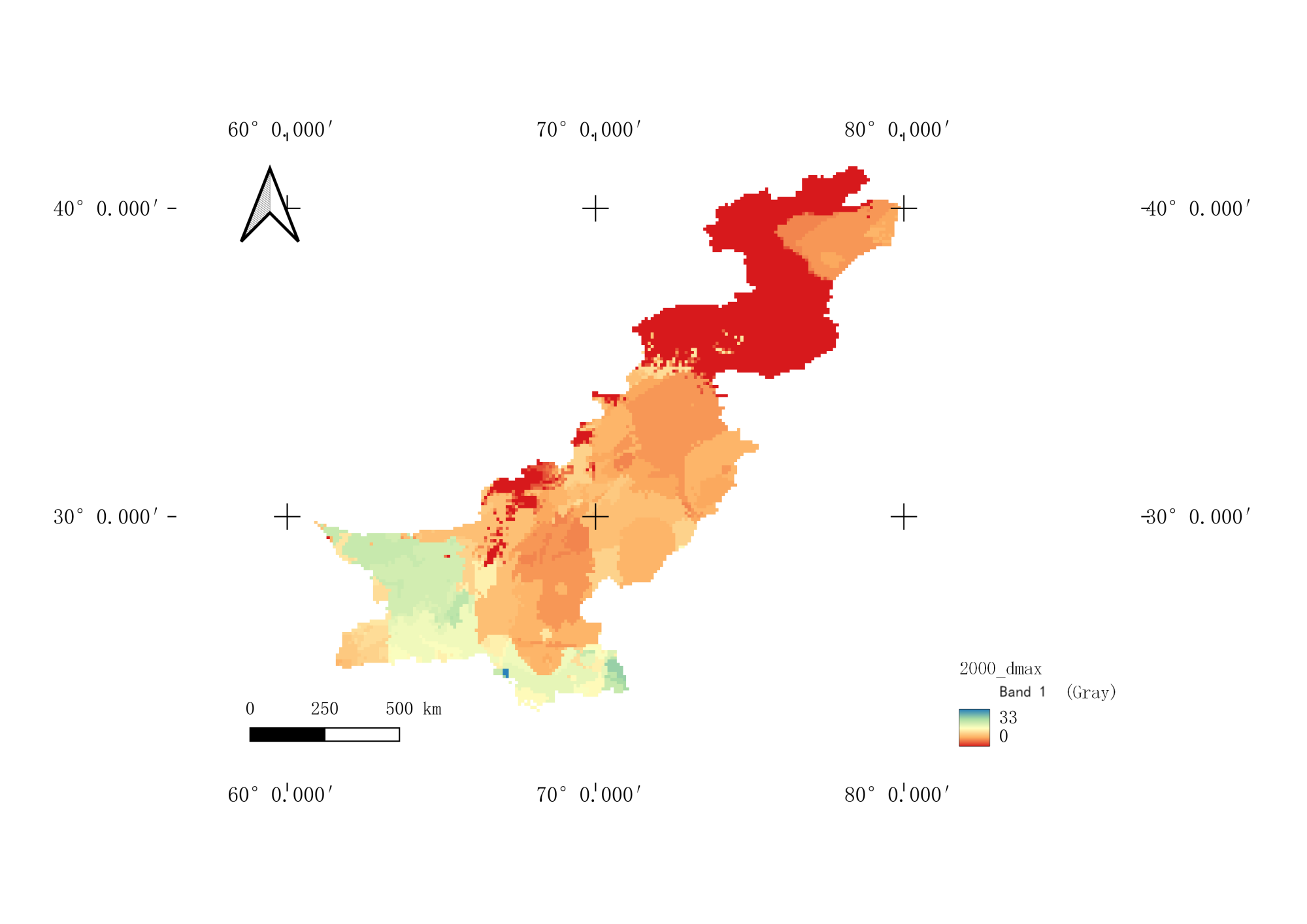
One belt, one road area, was calculated based on the daily weather station data for 1989-2018 years. The annual spatial data of the high temperature wave data set were 0.1 degrees and the time span was 1989-2018 years. The main vegetation consisted of high temperature wave frequency, total duration of high temperature heat wave, the longest duration of high temperature heat wave, and the highest temperature of high temperature and heat wave.
Language
English
Format
geotiff
Creator
Wang,Juanle
Publisher
Institute of Geographic Sciences and Natural Resources Research,CAS
Contributor
Wang,Juanle
Organization
Institute of Geographic Sciences and Natural Resources Research,CAS
Access constraints
Fully shared
Other constraints
No
Date
1989-2018
Date creation
2023-10-07
Date publication
2023-10-07
Crs
WGS84
Information evaluation
Relevant information
- Winter 30 meter surface temperature data of the China Pakistan Economic Corridor from 2018 to 2019
- Snow distribution data of the China Pakistan Economic Corridor at 30m × 30m in 2021
- Dataset of geological hazards such as collapses, landslides, and mudslides in the China Pakistan Economic Corridor from 1970s to 2018
- China Pakistan Economic Corridor ice lake distribution dataset from 2017 to 2019
- Cataloging data of historical ice lake disasters in the China Pakistan Economic Corridor from 1970s to 2018
- GDP dataset of the China Pakistan Economic Corridor
- Cataloging data of historical glacier disasters in the China Pakistan Economic Corridor from 1970s to 2018
- Monthly dry and wet index grid data set for the China Pakistan Economic Corridor at 0.25º×0.25º from 1961 to 2015