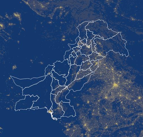
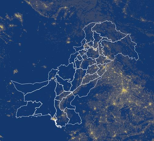
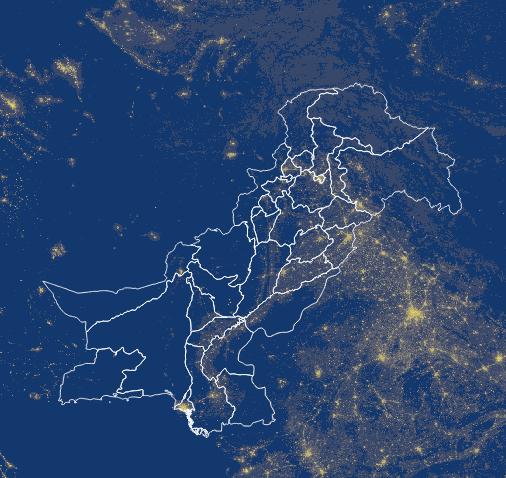
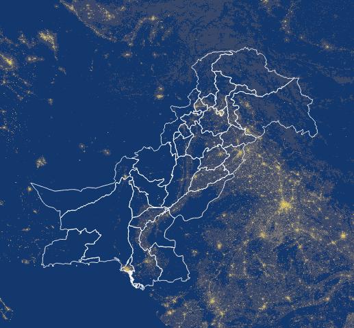
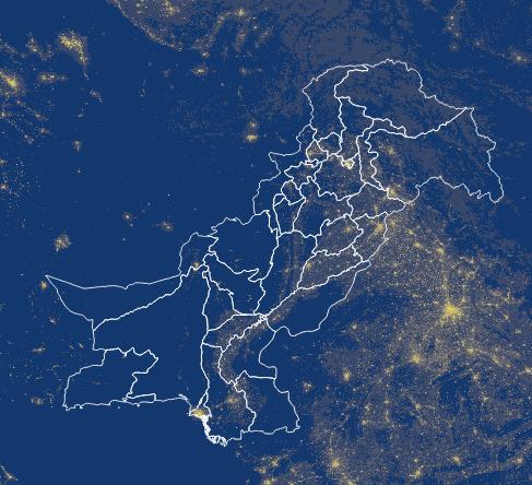
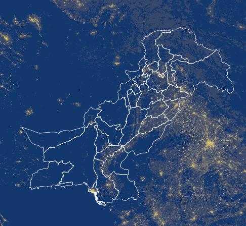
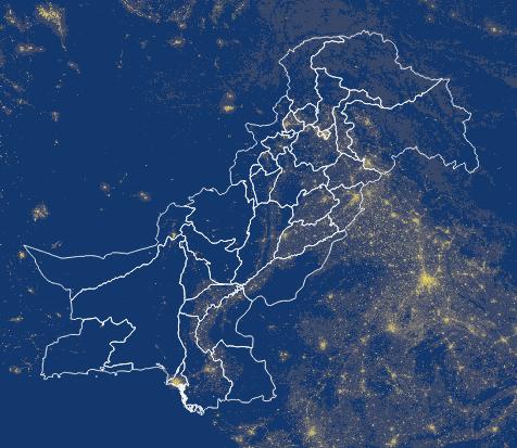
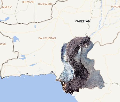
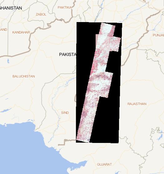
This dataset consists of 9 issues of annual 500 meter
NPP/VIIRS night light consistency data across Pakistan
from 2012 to 2020. The current issue is for 2012, and
the original data is monthly data released by the
National Oceanic and Atmospheric Administration
(NOAA/NGDC) of the...
2023-08-11