logo

Disaster risk
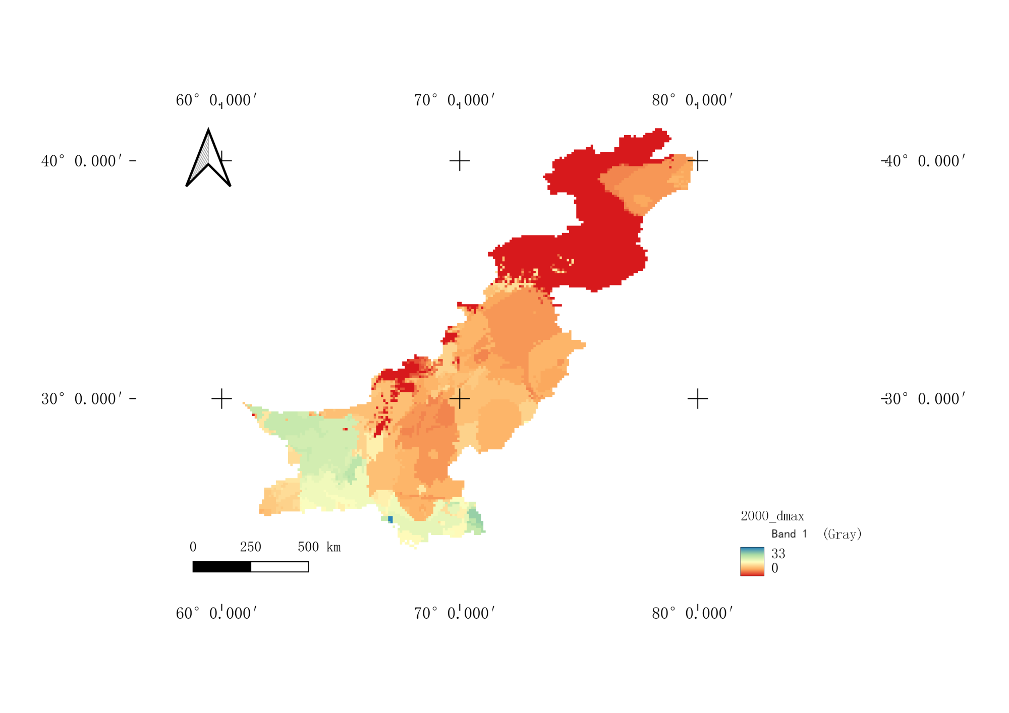
Based on the daily temperature data of three long series observation meteorological stations in the eastern Pamir Plateau of China at the northern end of the China Pakistan Economic Corridor from 1961 to 2017, temperature process indicators such as single station warming day, war...

2023-10-10

One belt, one road area, was calculated based on the daily weather station data for 1989-2018 years. The annual spatial data of the high temperature wave data set were 0.1 degrees and the time span was 1989-2018 years. The main vegetation consisted of high temperature wave freque...

2023-10-10

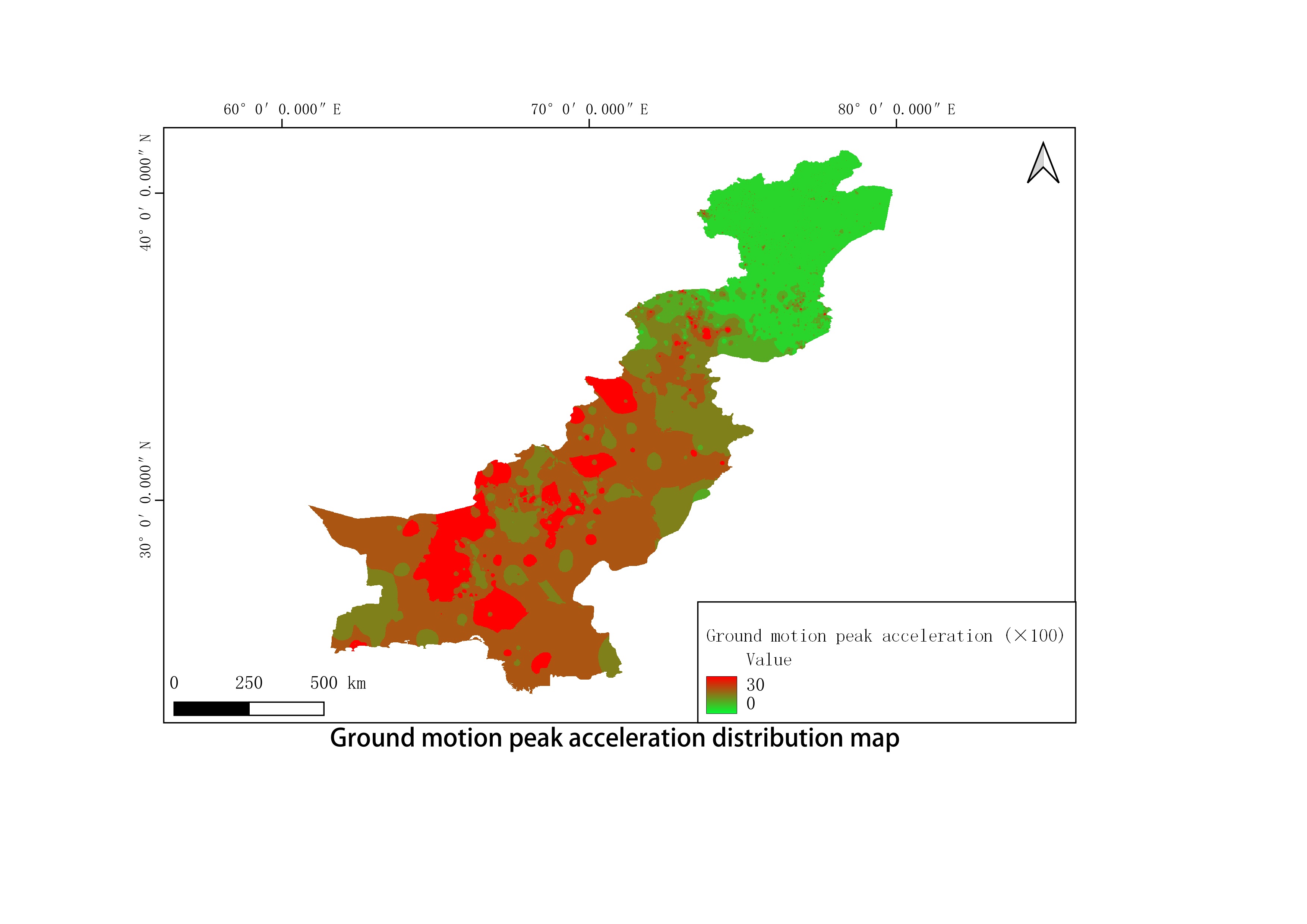
This data set covers the peak acceleration of ground motion data of 1000m earthquakes of China-Pakistan Economic Corridor from 1960 to 2000. The original data are earthquake point vector data of China-Pakistan Economic Corridor released by Chengdu Institute of Mountain Hazards an...

2023-10-10

This data set covers the intensity data of 1000m earthquakes of China-Pakistan Economic Corridor from 1960 to 2000. The original data are earthquake point vector data of China-Pakistan Economic Corridor released by Chengdu Institute of Mountain Hazards and Environment, Chinese Ac...

2023-10-10

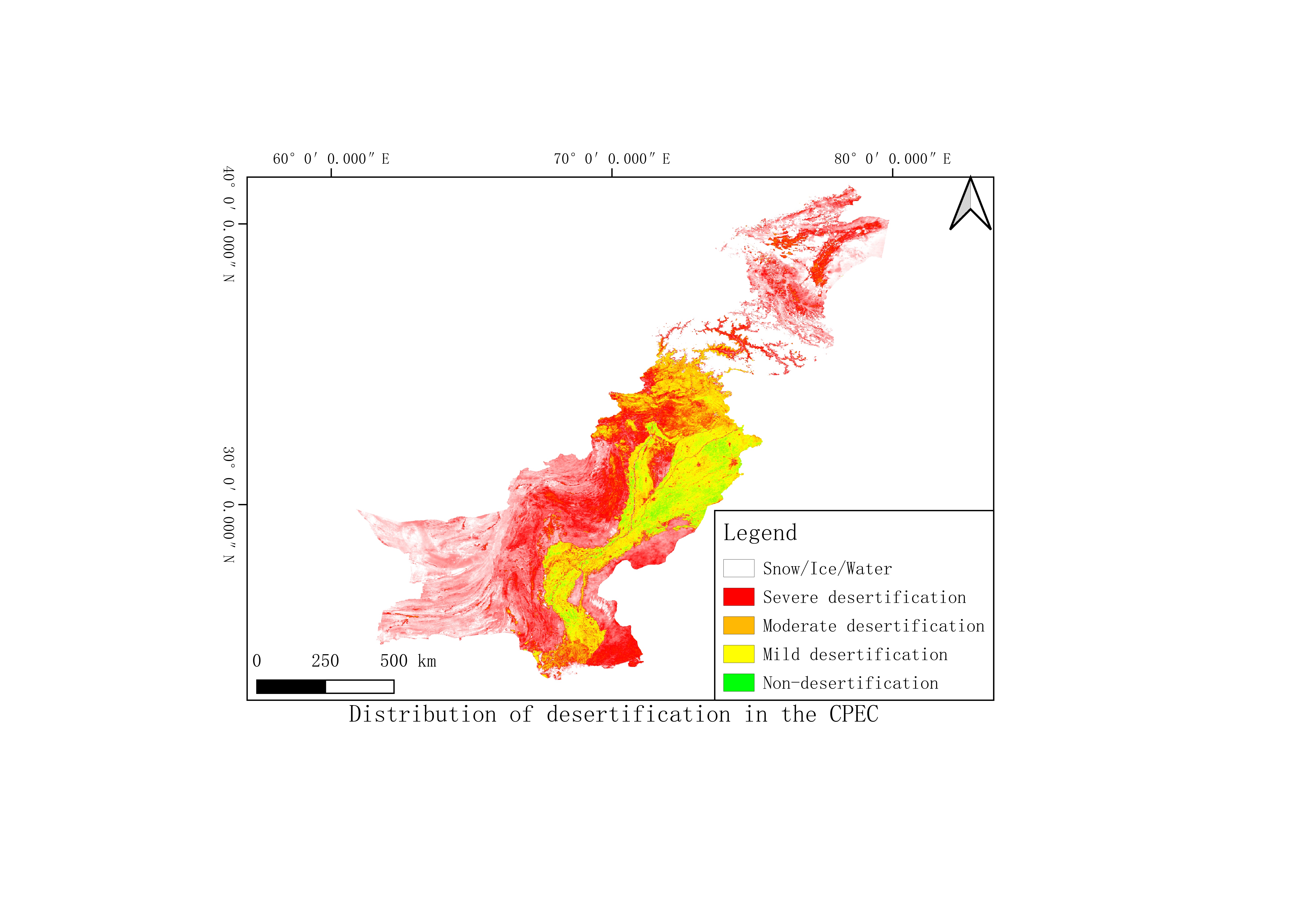
Desertification difference index (DDI) was used to evaluate the degree of desertification in the Corridor. Based on Normalized Difference Vegetation Index (NDVI) and Albedo, we established the Albedo-NDVI space and a DDI formula through negative correlation between Albedo and NDV...

2023-10-10

This data set covers the magnitude, intensity and peak acceleration data of 1000m earthquakes of China-Pakistan Economic Corridor from 1960 to 2000. The original data are earthquake point vector data of China-Pakistan Economic Corridor released by Chengdu Institute of Mountain Ha...

2023-10-10

Using time-series InSAR technology, this study performs surface deformation monitoring of Sentinel 1A data covering all areas of the Economic Corridor from 2014 to 2018, which reflects the surface material movement and geological hazard risk level in the region over the past four...

2023-10-10

Based on a combination of MODIS normalized differential vegetation index (NDVI) and land surface temperature (LST) products and SRTM DEM data, the study used NDVI-LST spatial characteristics to extract the spatial edge of dryness and wetness along CPEC from 2000 – 2017...

2023-10-10

Download precipitation and temperature data in http://www.dx.doi.org/10.11922/sciencedb.j00001.00189 ; Download DEM data http://www.gscloud.cn ; The geological map was provided by the Pakistani Academy of Sciences and integrated to obtain geological disaster factors such as colla...

2023-10-10

This data is recorded in literature. Data source: China Science Data Bank http://ww . dx.doi.org/10.11922sciencedbj00001.00145 (Upstream Glacier and Ice Lake Related Disasters or Events Dataset along the China Pakistan Economic Corridor), compiled historical glacier disaster cata...

2023-10-10

Most attention

Recent articles